October is when Nepal's trails get busy for a reason: the monsoon has cleared, the air is about as transparent as it gets all year, and the Himalaya finally stands up in full view. It is also when a lot of trekkers discover that the "no signal in the mountains" stories they were told are half out of date. Data on the main routes has genuinely improved — and it still ends, fairly abruptly, at a point you can more or less predict. Here is an honest map of where it holds and where it goes.
What October changes
Autumn (roughly late September to November) is Nepal's busiest trekking window alongside spring. Lodges fill, the Dashain and Tihar festivals fall somewhere in this stretch — their dates move with the lunar calendar, so check the year you are travelling — and domestic flights run at capacity.
That last point has a connectivity angle. In recent peak seasons, Kathmandu–Lukla flights have been shifted to Manthali airport in Ramechhap, a four-to-five-hour pre-dawn road transfer from the capital, with the short hop to Lukla departing from there. Arrangements change year to year, so confirm with your operator — but the practical effect is that your departure details, delays and rebookings all arrive by messaging app at 3am, before you have set foot on a trail. Being online on the drive matters more than it sounds.
Where the data actually works
Broadly, and describing the Nepali networks rather than any one plan:
- Kathmandu and Pokhara: ordinary 4G, occasionally congested, fine for everything.
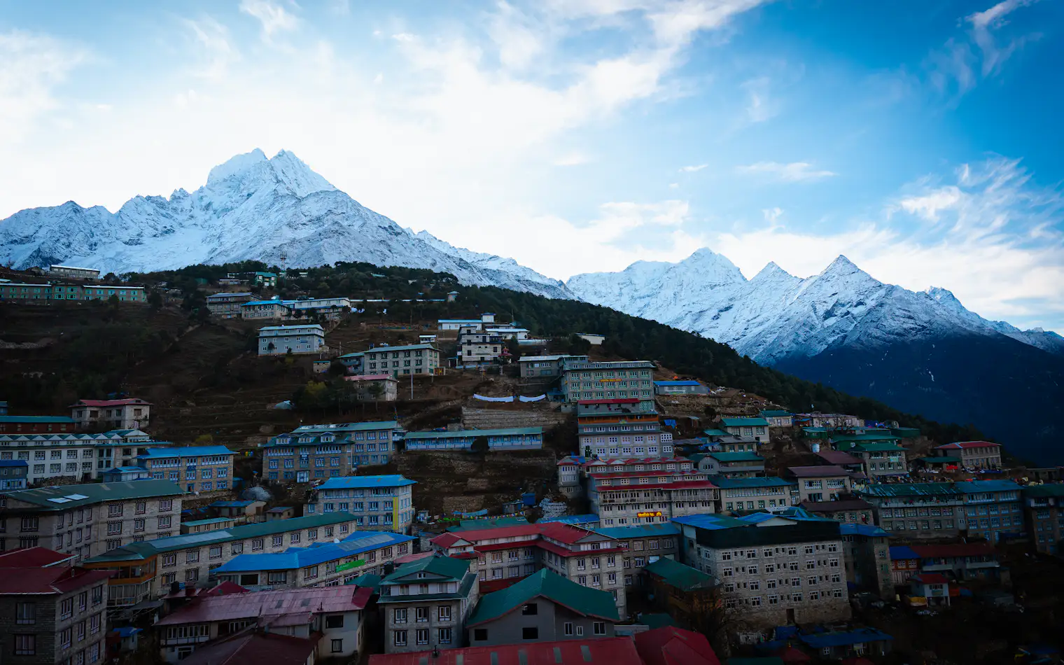
- Lower Khumbu: usable 4G from Lukla up through Phakding and Monjo to Namche Bazaar at around 3,440 m. Namche is the last place most trekkers describe as genuinely quick.
- Annapurna: reasonable coverage along the valley up to Manang, and again on the far side at Muktinath and Jomsom.
Coverage is line-of-sight, so it is patchier than any list suggests: a ridge twenty minutes above a village can have bars where the village has nothing, and a side valley can be dead at an altitude where the main trail is fine.
Where it stops
| Stretch | What to expect |
|---|---|
| Lukla → Namche Bazaar | Workable data most of the way |
| Namche → Tengboche | Patchy; good on open ridges, gone in the valleys |
| Dingboche → Lobuche → Gorak Shep | Intermittent at best; lodge Wi-Fi is often the only option |
| Thorong Phedi and Thorong La (5,416 m) | Effectively nothing — plan a full day offline |
None of this is a defect of one SIM or another. Above the last tower there is no network to join, and no plan sold anywhere changes that.
The two networks don't fail in the same place
Nepal has two national operators: state-owned Nepal Telecom (NTC) and Ncell. They diverge in a way that matters on a trek. NTC, with a rural coverage mandate, is widely reported to hold a usable signal higher and further into remote valleys — including spots where Ncell has none. Ncell is often the faster of the two in towns and the lower Khumbu. Plenty of Nepali trekking staff simply carry both.
A roaming plan connects through whichever partner networks it covers, which is a property of the plan and not something to guess at — check what your Nepal plan says on destinations before you rely on it above 4,000 m.
Lodge Wi-Fi is a metered voucher, not broadband
Higher up, "the lodge has Wi-Fi" almost always means the lodge sells prepaid cards for a regional network — Everest Link is the well-known one in the Khumbu, run over a chain of line-of-sight radio relays up the valley rather than anything resembling household broadband. You buy a fixed volume of data, prices climb with altitude, and everyone in the dining room is on the same link at 7pm. It is fine for a text saying you are safe and warm. It is not fine for uploading the day's photos, and satellite alternatives are not a general option for trekkers in Nepal — services like Starlink have not been licensed for public use there, so don't plan around finding one.
Download it before Lukla
Do this on hotel Wi-Fi in Kathmandu or Pokhara, not on a lodge voucher:
- Offline maps covering the whole route, not just the first days.
- Permits, bookings and insurance saved as files on the device, plus your operator's emergency numbers.
- An offline translation pack and any reading or podcasts for long teahouse evenings.
- Your VamosData eSIM, installed and tested at home before you fly — the install itself needs a connection, so the morning of a 4am transfer is the wrong time to find out about it.
Setting up in advance also means skipping the SIM counter on arrival day, which is worth something when the flight lands late. Check your handset on the device checker, pick a Nepal plan on destinations, and follow the iOS or Android guide at home. If you are staying in Nepal for weeks rather than days, look up the current handset-registration rules before counting on a local SIM as a backup — they have changed more than once.
Then let the signal stop. Somewhere above Namche it will, and a week of being genuinely unreachable is most of what people come back talking about — as long as the messages you needed to send got out before the last tower dropped behind the ridge. For a sense of what you will actually use down in the valleys, our day-by-day data breakdown is a better guide than guesswork.